News 2022
Discover the geology of the Dolomites along the new "Geological Trail of Arabba" from Malga Ciapela
Starting in the summer of 2022, the “Geological Trail of Arabba” will be improved with new information signage placed along the trail, which allows hikers to discover interesting information about the complex yet unique geological history of the Dolomite area.

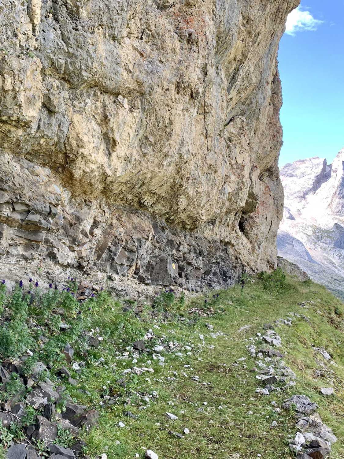
From the era when the Dolomites were a coral reef at the bottom of the Tethys ocean, through eras of intense volcanism, to the collision of tectonic plates that led to the formation of the mountain ranges of the Alps, this trail gives the opportunity to embark on a journey of millions of years, observing the surrounding environments in a guided way, thanks to information boards full of simplified texts, infographics, and photographic material.
The “Geological Trail of Arabba” in its traditional version is a 12-km loop trail with departure and arrival from Rifugio Gorza at Porta Vescovo, winding through 18 stages (stops), at which recently made information boards are placed.
The GTA can be walked in a few variants, the most convenient of which, for those starting from Malga Ciapela, has as its starting point the Rifugio Padon, easily reached thanks to the Padon 2 chairlift at Capanna Bill, about a 5-minute drive from the Marmolada Malga Ciapela Campground (3.2 km).
From the Rifugio Padon it is possible to walk both the complete loop (departure and arrival at the Rifugio Padon), and the shortened version (historical-panoramic version).

COMPLETE TRAIL
Loop trail with start and finish at the Rifugio Padon
NOTE: This trail requires taking the chairlift Padon II (always check the opening times here).
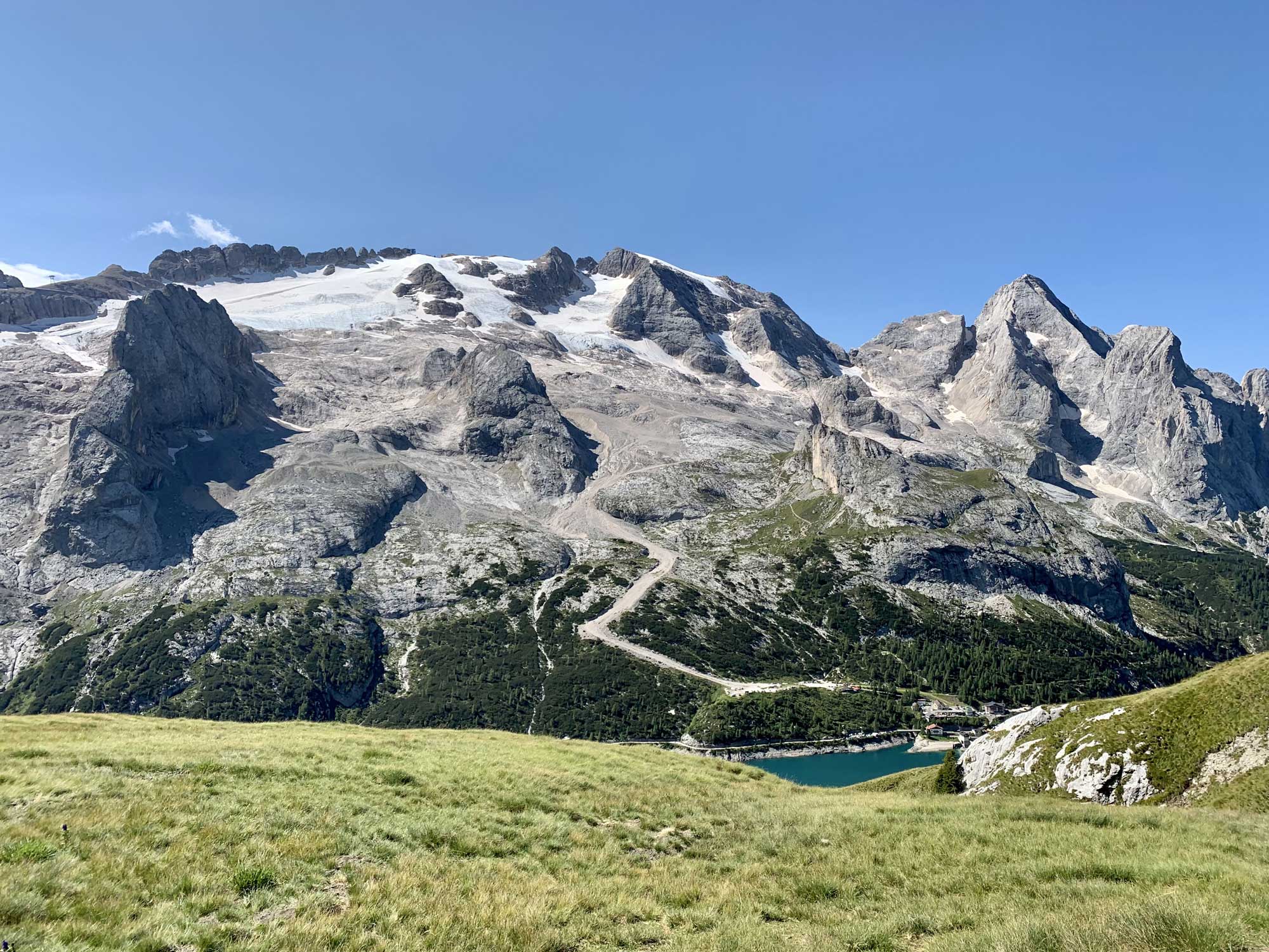
Because of the length of the route, it is recommended that you leave fairly early in the morning to be sure to finish it before the lifts close. You take the Padon II chairlift from Capanna Bill, which will take you up to the Padon Hut, from which you head to the Gorza Hut via a trail that remains substantially at altitude until Porta Vescovo and offers spectacular views of the Marmolada and Lake Fedaia. When you reach Porta Vescovo, you take the trail at its traditional starting point (in fact, stop 1 is located here), and continue, following the signs, through millions of years of geologic history, passing through Pescoi and Piani di Ornella, until you reach the Padon Pass and the refuge of the same name, where the trail ends. Go back to Capanna Bill by taking the chairlift Padon II.

SHORTENED TRAIL
Panoramic and historical trail from Rifugio Padon
NOTE: This trail can only be taken if the Pescoi - Portavescovo cable car is in operation! (always check this page).
In this version, most of the geologically themed signs are skipped, and instead the highlight is on all the parts of the trail with distinct panoramic and historical interest. In the first part of the trail (Rifugio Padon - Rifugio Gorza), in fact, the views of the Marmolada and Lake Fedaia are truly unique. Once at Rifugio Gorza, we take the cable car from Portavescovo to Pescoi (intermediate station), and continue on the second part of the trail (Pescoi - Rifugio Padon).
Now begins the journey through history, where we venture through Austro-Hungarian and Italian trenches, walkways, and shelter posts dating back to World War I, until we arrive at the Padon hut, where we can either take the Padon II chairlift or walk back down to the valley.


